Patricia Warnings
Friday Morning
We'd been hearing about this storm. Patricia, for a week. It wasn't strong. Suddenly, on Friday, it became strong. The worst on record, we heard.
 Weather Wonder Ground
The enhanced satellite photos showed Patricia straight south of us and the forecasters said it would turn inland.
 NOAA 48hr Surface Analysis
But the Surface Analysis seemed to show it coming up the coast.
 Grib File on OpenCpn
Same with the Grib files...
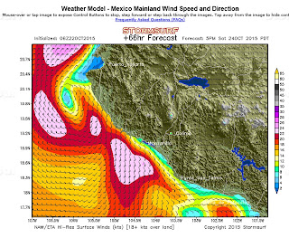
 Storm Surf Image
And the "Storm Surf" image
This was not good news for us. If Patricia came up the coast it would bring strong winds into Banderas Bay along with a big storm surge. Our marina could get pounded. We listened to the reassuring words of the forecasters, "it won't come that way" but we were worried.
Then we heard it was a cat 5 hurricane. The strongest hurricane ever in the Western Hemisphere. Winds over 205 knots. This shocked us.
Preparations
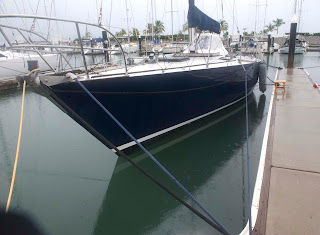
 Neighbors getting double tied
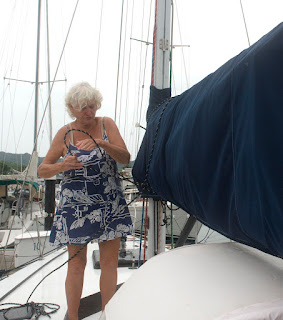
 Judy ties mainsail cover
This won't do us much good if the hurricane actually comes here.
 Wings deck cleared and double tied
Latest Projections
By 4:00PM the picture had changed, now it looks like the storm will go ashore south of us, and we might be protected by the mountains, as we have been in the past.
 Weather Wonder Ground
Here we see that at 6:22PM hurricane Patricia has come ashore on the coast of Mexico south of Banderas Bay and its path is N to NE. it will pass to the east of Puerto Vallarta and La Cruz. We should expect windy and rainy weather but not hurricane winds and not big waves. Maybe it's a little early to call it done, but we can breath a little easier. We'll check in tomorrow.
.jpg)

0 Comments:
Post a Comment
<< Home